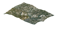
The mountain,
as it really rises.
Explore Yosemite with measured elevation and historical aerial photography. Granite walls, waterfalls and trails above the valley. Explore Half Dome, Glacier Point and Yosemite’s mountain viewpoints.
Terrain: a 2,049 × 2,049 USGS 3DEP grid at true vertical scale, with USDA NAIP imagery acquired in 2022. Close views load detailed aerial tiles; distant views and miniatures use lighter assets. Trees and buildings appear in the photography, rather than as separate 3D objects.
Trails and places: curated OpenStreetMap geography with official land-manager visitor references. Longer regional trails are shown only within this landscape. Climbing approaches are identified separately; a mapped line is not a complete glacier or summit itinerary.
Place close-ups: all visitor areas and mapped places have native 0.6 m aerial coverage nearby, loaded as you zoom in on desktop or mobile. Very close zooms still reveal the photograph’s resolution limit. This sharpens the photography without adding building, tree or rock geometry.
These are historical images, not live conditions. Snow cover, access and routes can change. Use official destination maps and current access information when planning your visit.
USGS 3DEP · USDA NAIP imagery · © OpenStreetMap contributors
Visit the official destination guide